Wichmondseweg 32
Wichmondseweg 32, Kempel - Land en Kadasterkaarten
-
Land en kadasterkaarten omgeving
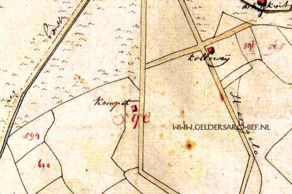
1811 Verpondingskaart. Bron Gelders Archief.
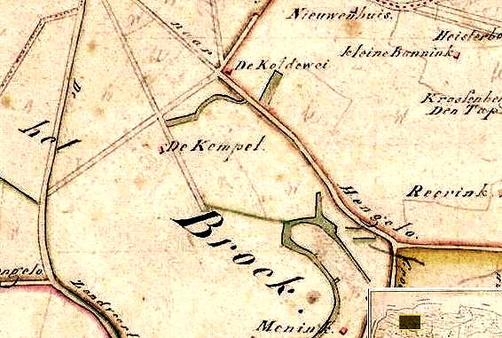
1820 'Kaart van de Woeste Gronden'. Bron ECAL.
1825 Kadastraal verzamelplan. Bron WatWasWaar.
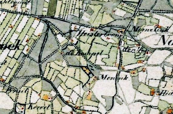
1850 Topografische militaire kaart. Bron WatWasWaar.
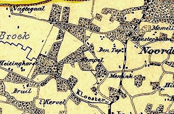
1868 Bron Gelderse Atlas.
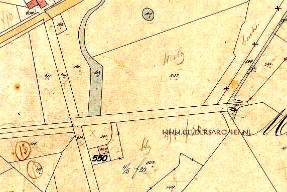
1881-'87 Kadastrale kaart. Bron Gelders Archief.
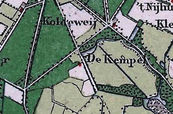
1897 Topografisch militaire kaart.
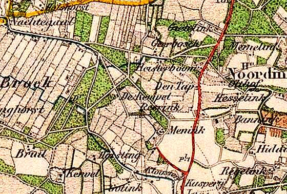
1900 Topografisch militaire kaart. Bron Gelders Archief.
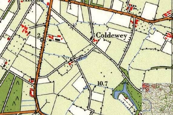
1965 Topografische kaart. Bron WatWasWaar.
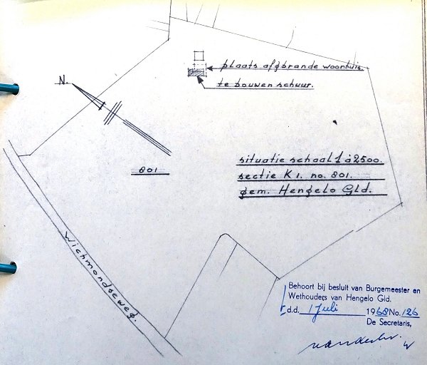
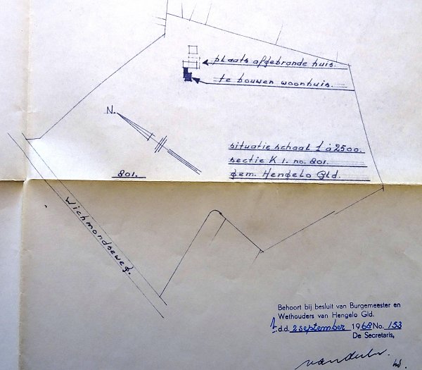
1968 Situatie zoals weergegeven op bouwtekening. Bron ECAL.
Gepubliceerd in
Wichmondseweg 32
