Wichmondseweg 24aa, Bakhuis - Foto's
-
Foto’s bij dit artikel:

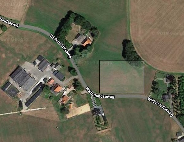
2018 Foto Google Maps met een kader om de plek waar Backhuis heeft gestaan.
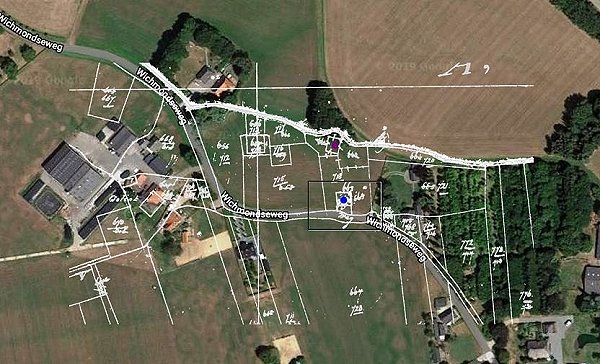
2018 Foto Google Maps met de kadastrale kaart uit 1832 als overlay. De laatste plek waar Backhuis
stond wordt aangegeven door een blauwe stip, daarboven (paarste stip) is waarschijnlijk de vorige
locatie van het huis.
Gepubliceerd in
Wichmondseweg 24aa
